


Bavigne

guyS
User
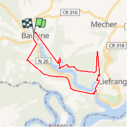

Length
7.4 km

Max alt
425 m

Uphill gradient
309 m
Km-Effort
11.5 km

Min alt
320 m

Downhill gradient
310 m
Boucle
Yes
Creation date :
2019-08-31 11:56:05.784
Updated on :
2019-08-31 14:49:16.796
2h52
Difficulty : Very easy

FREE GPS app for hiking
 SityTrail
IGN / Geographical institutes
SityTrail Plus
The world is yours!
About
Trail Walking of 7.4 km to be discovered at Unknown, Canton Wiltz, Lac de la Haute-Sûre. This trail is proposed by guyS.
Description
Belle randonnée, bien balisée, un peu sportive
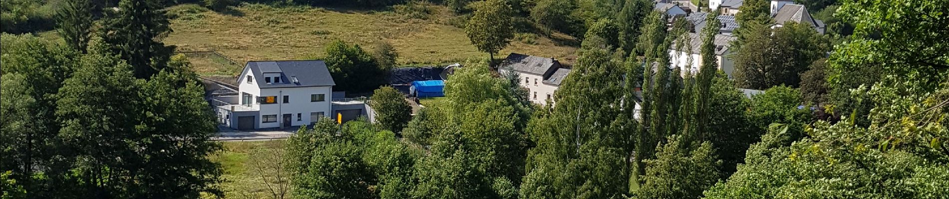
Photos


Positioning
Country:
Luxembourg
Region :
Unknown
Department/Province :
Canton Wiltz
Municipality :
Lac de la Haute-Sûre
Location:
Unknown
Start:(Dec)
Start:(UTM)
704455 ; 5533703 (31U) N.
Comments